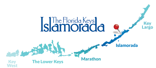
2RC/NA062 Islamorada Isl.
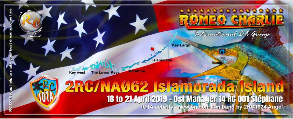
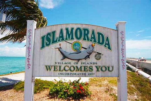
We are happy to inform you, one of the Florida Keys islands will be on air for the first time on 11m : Islamodara Isl. or Upper Matecumbe Key Isl. by the RC Int. DX Group !
On air 2019, April 18 to 21 by 2RC1624 Angel, a paper QSL will be available via the QSL Manager 14RC001 Stephane
A eQSL will be available to download on our RC web site : http://www.rcqsl.com
The Florida Keys are a coralcayarchipelago located off the southern coast of Florida, forming the southernmost portion of the continental United States. They begin at the southeastern coast of the Florida peninsula, about 15 miles (24 km) south of Miami, and extend in a gentle arc south-southwest and then westward to Key West, the westernmost of the inhabited islands, and on to the uninhabited Dry Tortugas. The islands lie along the Florida Straits, dividing the Atlantic ocean to the east from the Gulf of Mexico to the northwest, and defining one edge of lorida Bay.
At the nearest point, the southern part of Key West is just 90 miles (140 km) from Cuba. The Florida Keys are between about 23.5 and 25.5 degrees North latitude.